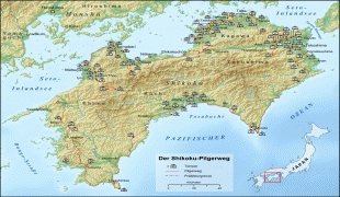
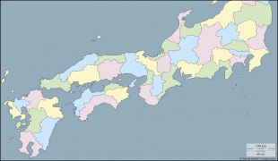
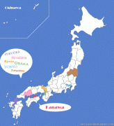
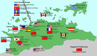
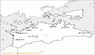
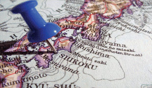
Kagawa Prefecture (Kagawa-ken)
 |
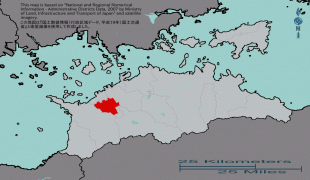
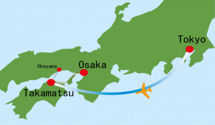
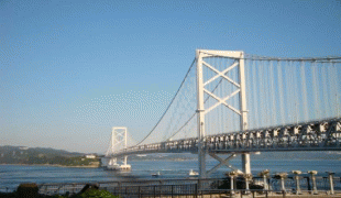
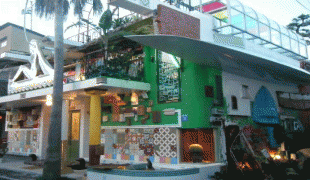
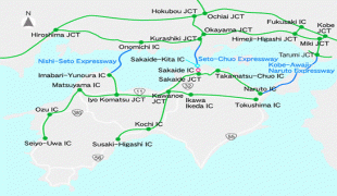
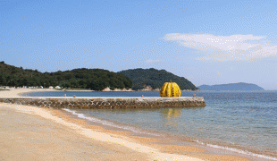
Takamatsu is the capital and largest city of Kagawa Prefecture, with other major cities including Marugame, Mitoyo, and Kan'onji. Kagawa Prefecture is located on the Seto Inland Sea across from Okayama Prefecture on the island of Honshu, which is connected by the Great Seto Bridge. Kagawa Prefecture includes Shōdoshima, the second-largest island in the Seto Inland Sea, and the prefecture's southern land border with Tokushima Prefecture is formed by the Sanuki Mountains.
Kagawa was formerly known as Sanuki Province.
For a brief period between August 1876 and December 1888, Kagawa was made a part of Ehime Prefecture.
Map - Kagawa Prefecture (Kagawa-ken)
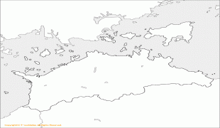
Map


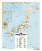

Country - Japan
 |
 |
| Flag of Japan | |
Japan is the eleventh most populous country in the world, as well as one of the most densely populated and urbanized. About three-fourths of the country's terrain is mountainous, concentrating its population of 124.8 million on narrow coastal plains. Japan is divided into 47 administrative prefectures and eight traditional regions. The Greater Tokyo Area is the most populous metropolitan area in the world, with more than 37.2 million residents.
Currency / Language
| ISO | Currency | Symbol | Significant figures |
|---|---|---|---|
| JPY | Japanese yen | ¥ | 0 |
| ISO | Language |
|---|---|
| JA | Japanese language |